Satlas
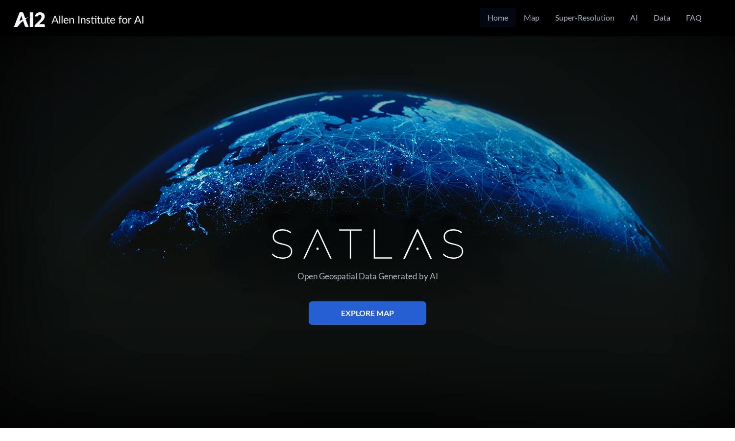
About Satlas
Satlas is an innovative platform designed to visualize and analyze Earth's changes using AI-annotated satellite imagery. Targeting researchers and environmental enthusiasts, it offers high-resolution imaging and comprehensive datasets. Users benefit from accessible, in-depth geospatial information, empowering them to understand and respond to environmental challenges.
Satlas offers free access to geospatial datasets, with options for partnerships and expanded services. While basic features are available at no cost, premium tiers may provide enhanced data and insights for in-depth analysis. Users benefit from tailored pricing that scales with their needs for environmental research.
Satlas features a user-friendly interface that prioritizes seamless navigation and access to rich datasets. Its layout is designed for intuitive browsing, allowing users to effortlessly explore satellite imagery and AI-enhanced data. The platform’s unique features enhance the overall experience, making data analysis more efficient.
How Satlas works
Users begin their journey on Satlas by creating an account for enhanced access. From there, they can navigate the intuitive interface to explore a wide range of AI-annotated satellite imagery. By selecting various datasets and features, users can visualize and analyze how environmental factors evolve over time.
Key Features for Satlas
AI-annotated Satellite Imagery
Satlas excels in delivering AI-annotated satellite imagery that showcases evolving environmental changes. This unique feature empowers users to visualize alterations in marine and infrastructure development, providing crucial insights into ecological trends and supporting informed decision-making regarding development and conservation efforts.
Geospatial Data Access
Satlas offers robust access to freely downloadable geospatial data, a unique feature that facilitates offline analysis. This allows researchers and organizations to utilize extensive datasets for deep environmental insights, enhancing their ability to make data-driven decisions and contribute to meaningful projects and studies.
Super-Resolution Technology
Satlas incorporates advanced super-resolution technology, transforming low-resolution satellite images into high-quality visuals. This key feature enhances the clarity of data representation, allowing users to perceive and analyze geographical changes with greater precision, ultimately enriching their research and analytical capabilities.
You may also like: